
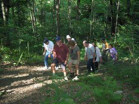

The Torrington Trails Network is comprised of a group of citizens who work to improve existing trails and create new outdoor trails, biking paths, and walkways in the City of Torrington, Connecticut. New volunteers are always welcome.
ABOUT US: The Torrington Trails Network (TTN) is a group of local volunteers interested in developing an interconnected, accessible trail system throughout the City of Torrington for various recreational purposes.
This trail system is being developed in accordance with the Open Space and Greenways chapter of the Torrington Plan of Conservation and Development. This plan will serve to guide the TTN along with the City's representative who will serve as liaison to City departments and commissions
MEETINGS: Meetings are generally scheduled the second Tuesday of each month at 6 pm, and are held at Maria-Seymour Brooker Memorial in Torrington. Occasionally, additional meetings are scheduled and are held at the same location or on-site at proposed trails and pathways.
CONTACT: {Email}{Info}{Website}{Facebook}
Scheduled Meetings:
- DATE: January 14th, Tuesday
- TIME: 6pm to 8pm
- LOCATION: Brooker Memorial Child Care Center at 157 Litchfield St., Torrington, CT {Map}
- ADMISSION: FREE

Buttrick Trail
The Buttrick Trail uses the old Buttrick Road right of way. It connects the Sue Grossman Still River Greenway to the Blue Trail System between Burr Pond State Park and Sunnybrook State Park.
Red Mountain Trail
The Red Mountain Trail, a former railroad, sits right in the middle of downtown. The tracks and ties have since been removed and all that is left now is the path and great scenic views - in the middle of downtown! It is currently privately owned, and travels from North Elm Street in Torrington to Winsted Road. The end of the trail is just before the Squire Hill housing complex.
Trolley Line Loop
The Trolley Line Loop is a section of trail from Greenwoods Road south and travels behind the businesses to Harris Drive. It could create a loop to the current Sue Grossman Still River Greenway and give purpose to the undeveloped Machuga Park.
Sue Grossman Extension
The Sue Grossman Extension is the extension of the current Sue Grossman Still River Greenway. It connects from Harris Drive south to Kennedy Drive, and only requires three right-of-ways, and contains one big road crossing. The Sue Grossman Extension could eventually connect to Alvord Park.
Newfield Road Connector
The Newfield Road Connector is an existing path that leads from the southern end of Sunnybrook State Park to Winsted Road. It would connect Sunnybrook State Park to Winsted Road, and follows the East Branch of the Naugutuck River. This trail will provide access to good fishing.
Beaver Pond Trail
The Beaver Pond Trail connects the southern end of Sunnybrook State Park to the Beaver Pond at the top of Red Mountain. It features amazing views and wildlife. It would serve primarily for hiking trails as it is very steep to get to the top of the mountain.
Sunnybrook to Stillwater
This is a proposed trail to connect Sunnybrook State Park to Stillwater Pond.
John Brown Trail
The John Brown Trail will connect various sites on the westside of Torrington: the historic John Brown House Site, the Torrington University of Connecticut Branch, and Stillwater Pond State Park.
Norfolk/West Branch Trail
The Norfolk Road/West Branch Trail runs from the Stillwater Dam south to the Church Street Dam along the West Branch of the Naugatuck River.
Downtown River Walk
The Downtown River Walk will extend the Norfolk Road/West Branch Trail from the Church Street Dam south to Franklin Street.
Downtown Neighborhood Walk
The Downtown Neighborhood Walk runs from Water Street north to North Elm Street connecting to the Red Mountain Trail, and from Water Street south to the Litchfield/Torrington town line. This trail will cross the Downtown River Walk and will use the abandoned railroad wherever possible.
Naugutuck River Greenway
The Naugutuck River Greenway runs from the bridge at Rte. 202/ S. Main Street south. Approvals are still needed from the D.E.E.P. and Army Corps. Much of the area is already owned by the City of Torrington, but some of it is privately owned. The area was already approved by the D.E.E.P. as a designated greenway.
The Heritage Trail
The Heritage Trail is currently a trail in the planning that would connect towns along the Naugutuck River from Norfolk south to Beacon Falls, highlighting the heritage of the communities is passes through. The actual layout of the trail has yet to be determined. The Torrington Historical Society will play an active role in determining the sites that the trail passes alongside.
